What is VIPOS?
VIPOS is a tool for road data collection and processing developed by OMEGA consult. Raw data on road infrastructure are collected in motion by video detection with simultaneous GPS spatial positioning. By thus it is possible to create a database with exact location of road and road equipment.
With VIPOS there are no limitations for inclusion of any road element (bus stop, object, culvert, shoulders, bike lanes, drainage, pavement, fence, walls, special belts etc.).
Graphical data layer:
- connects road attribute data to any GIS system,
- shows the horizontal road alignment,
- shows the vertical road alignment,
- shows the 3-D road alignment model.
360 PhotoSphere
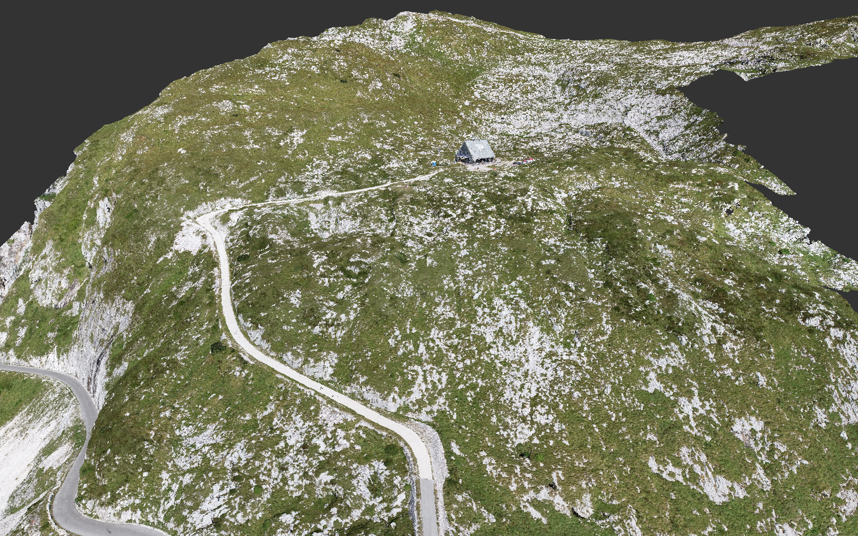
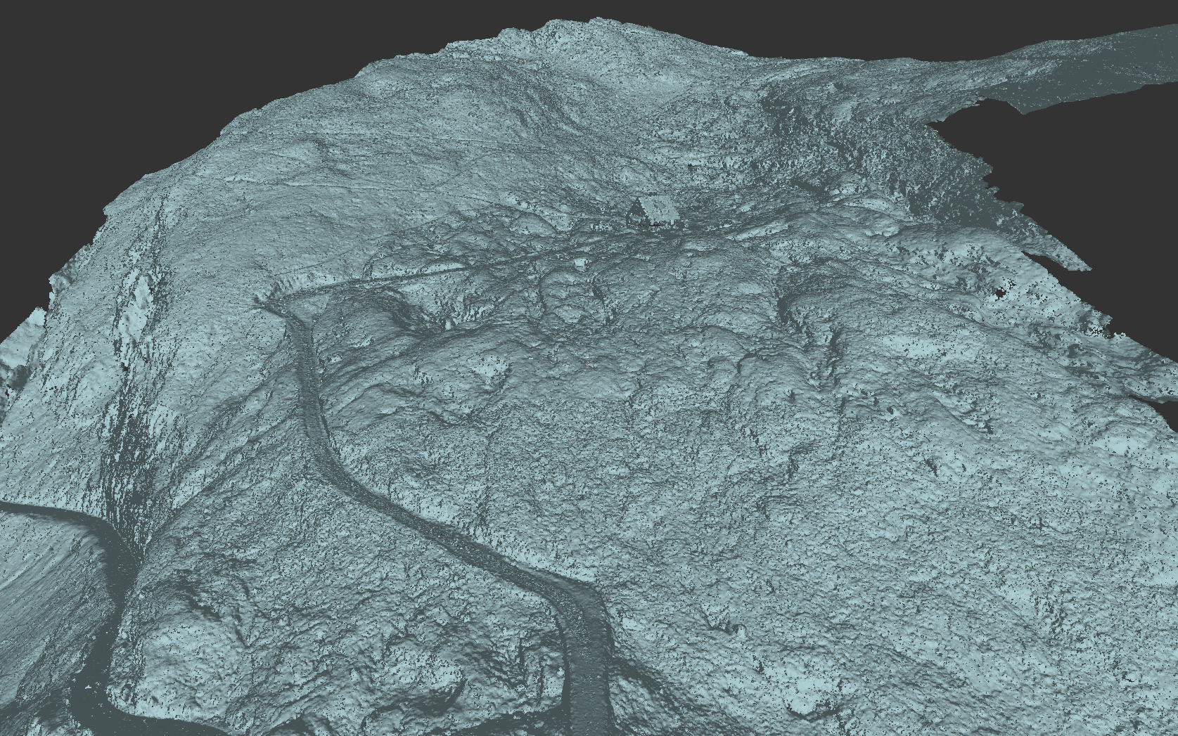
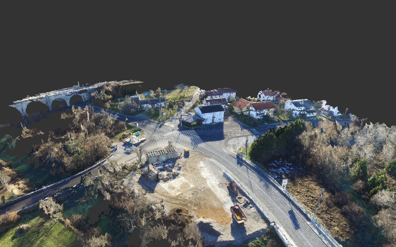
Drone footages serve for the preparation of digital ortophotos (DOF), digital elevation models (DEM) and other formats.


